I should probably take up dowsing or something, because my bones start to rattle when I sense I’m crossing an area where there used to be water in a dry landscape. Even if there is not obvious evidence right away, my subconscious seems to pick up tiny details that ring alarm bells. And where there used to be water there was usually a prehistoric Native American site. That’s why I’ve learned to take notice of that strange voice inside that shouts STOP AND LOOK NOW YOU OBLIVIOUS GOOFBALL! It knows me pretty well.
This one early morning I was driving and actually en route to a particular village site. I wasn’t paying particular attention to the landscape that I was passing, but suddenly I got that feeeeeeeeling. I took a closer look at what was around me and my eyes saw tundra.
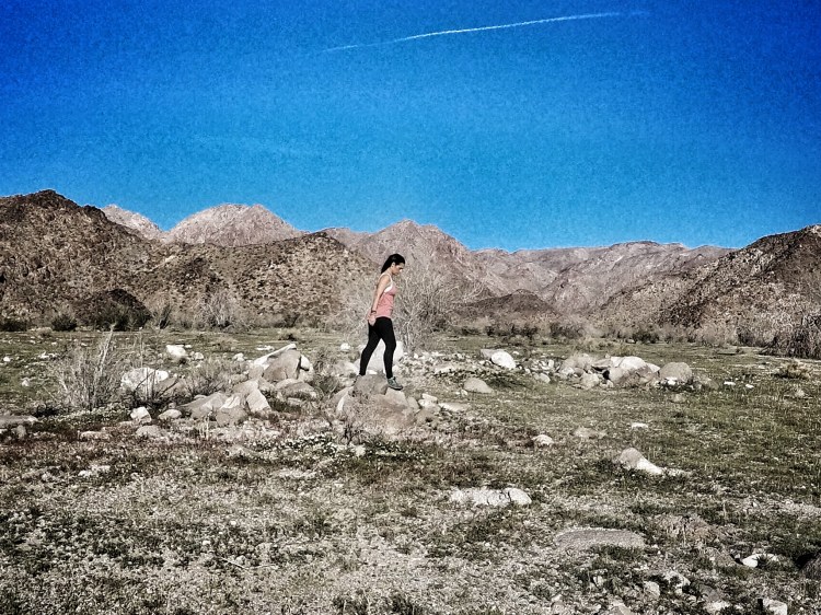
What I envisioned was lots and lots of water passing through this place, smoothing and harding the soil and forcing stout little tundra-like plants to grow. I screeched to a halt and looked at my topographic map. I was at the mouth of a gap in the Eagle Mountains (just outside Joshua Tree National Park) called Dragon Wash. My legs were itching to hike up the canyon and see if there were native artifacts hiding in this place as I suspected there were.
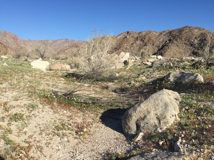
I hiked clockwise around the entire rim of the hidden basin and saw lots of (former) water.
I also saw lovely plateaus that would have made a wonderful place to build grass huts.


Incidentally, the wildflowers are starting to bloom. It will be very colorful in the desert soon.

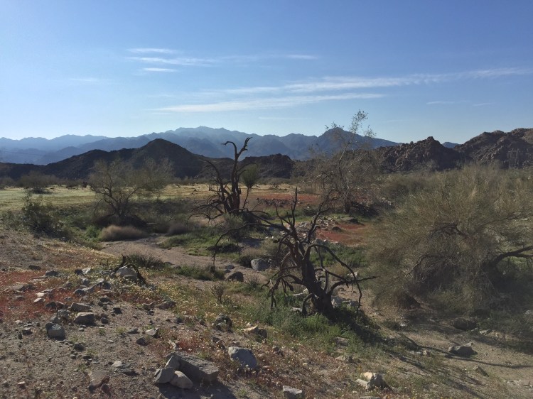
More recently people with modern furnishings and who ate a lot canned goods lived here.


And then, at the very last, I found it. The evidence of native occupation. This territory was considered to be Chemehuevi which is not the name the people called themselves. They called themselves either Nuwuwu or Tantawats.


I can’t escape how much these, especially the central image on the largest petroglyph boulder, look like Aztec imagery.

I mean, its not incomprehensible that they could be a similar writing language. Most of the tribes of the Southwestern states are of the Uto-Aztecan language family. It is thought that the people and the language started in the Arizona/New Mexico region and then fanned out from there to the South and West. Trade continued to happen across a vast trade network that included the Gulf of Mexico and the Pacific Ocean. Surely technology was always being traded and adapted. It is certainly possible that writing could have evolved similarly among many people of the Southwest.
Back to sleuthing out a few more interesting things about the geography of this particular petroglyph site. This very prominent petroglyph cluster is placed sort of at the extreme edge of a rock promontory, at the mouth of the canyon, where a passerby on foot from the arid East couldn’t help but notice it, I thought it was pretty obvious that whoever made these images wanted them to be seen by newcomers.
Maybe they marked clan territory. It is easy to see that some of the carvings are much newer than others. The patina hasn’t had time to darken as much on the newer ones. This site was continuously updated and added to over time.
Maybe they gave directions to something. I wondered, if they were meant to be seen by travelers and that made me wonder if there would be more, kind of like road signs or markers, along the base of the hill that could be seen while walking to this location from the east?
I walked around the mountain about a quarter of a mile to test my hypothesis. Here’s what I found in just that small distance of trail:
A long rock wall landmark that progressed all the way to the top of the hill.
Huge pieces chipped off boulders that flank either side of the trail like flags.

Many small petroglyphs positioned for easy viewing to a person coming on foot from the east. There were not images on the other side of the boulder to be seen by someone walking this path from the west. Hmm. Intriguing.


By this point I had spent about four or five hours exploring Dragon Wash and its environs and needed to move on if I was to have time to explore the area that I’d actually been on the way to see before getting waylaid by the Dragon. I would have liked to have walked the several miles along the base of the hill toward my destination village, instead of drive, to see if the road signs and flags continued the whole distance, but time simply didn’t allow. Maybe another time. If anyone undertakes that project, please report on your findings.
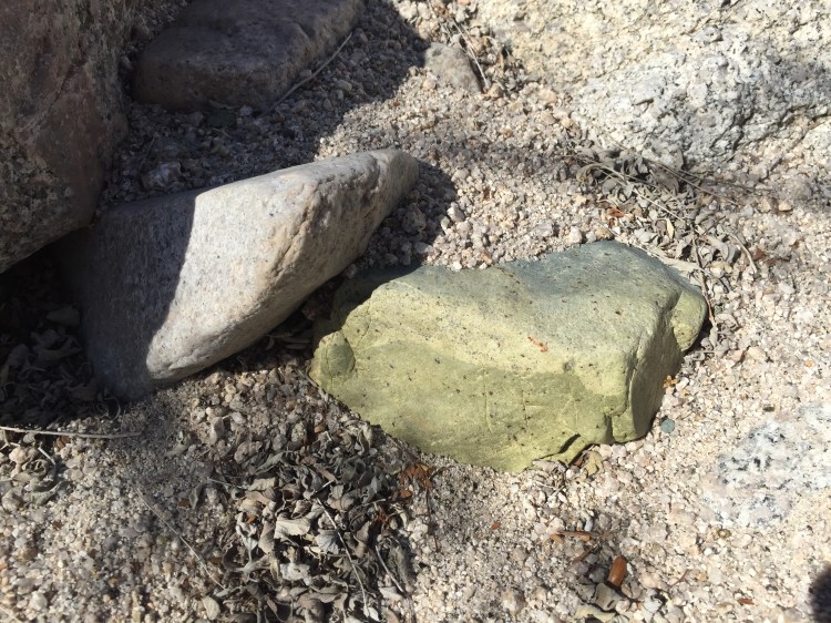
Here’s another little bonus item I saw in Dragon Wash, a kind of Jade that is found in Joshua Tree. This jade was made famous by the notorious Barry Storm and his Jade Mine where he claimed aliens told him to dig. I wonder if Mr. Storm also encountered any dragons. Probably.
Next stop: The Sunrise Temple

Exciting find!